
Whether the holidays are approaching or not, you undoubtedly need to use a GPS sometimes to find the best route during your travels. Faced with the plethora of existing GPS applications, choosing the one that perfectly meets your needs can become a real headache.
For several years now, it has no longer been necessary to pay to benefit from an effective GPS application. Many services offer increasingly advanced features, particularly with regard to traffic information with real-time incident reporting, or downloading maps for offline use.
To help you make the best choice, the editorial team has reviewed many free GPS applications on iPhone and Android to select the best ones that will meet the expectations of the greatest number.
1. Waze
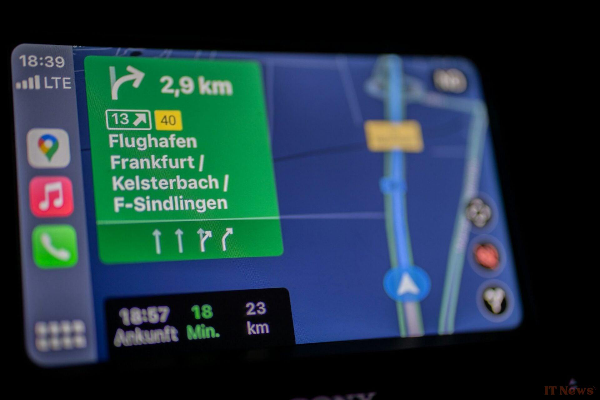
Waze has become a must-have in the world of connected GPS, and was bought by Google in 2013. The application, which now has some 150 million users worldwide, has won over drivers thanks to its community aspect. Above all, Waze is not limited to private car drivers. In fact, the application also allows you to obtain routes adapted for taxis, as well as for motorcycle drivers.
The app is fully connected and offers constantly updated maps thanks to the journeys made by the community of drivers. Ideal for avoiding traffic jams and other incidents on the road, Waze relies on incident reports made by users to adapt your route and offer you an optimal journey. Whether you are simply slowed down or an accident has been reported by several users, Waze has the advantage of being very responsive so that you do not have to worry about anything.
The mapping is downloaded on the fly and therefore requires you to have a plan that includes an Internet package. If you plan to use the application abroad, you will therefore absolutely have to ensure that you have a subscription that includes data abroad.
For the rest, Waze includes complete voice guidance as well as sound alerts in the event of danger. These are reported by other users and can be of several types: stopped vehicle, dead object or animal on the roads, pothole, roadworks, accident, localized weather event, etc.
In the event of an incident on your journey, the application automatically recalculates your route to allow you to avoid traffic jams, or to get around a possible difficulty. The updates to the reports sent to the application should also be more and more precise. Recently, Google announced that Waze incident reports would be displayed on Google Maps and could also be confirmed by users of the application.
You can even add a step to your itinerary to find the cheapest fuel, or access a point of interest, such as a restaurant, on your journey. Waze also integrates access to the control system of your favorite music application, to allow you to control the soundtrack of your trip as you wish. The application can indeed connect to different audio playback applications, such as streaming music platforms (Deezer, Spotify, Tidal, Apple Music, etc.), radio stations (Fun radio, RTL, RTL2, NRJ, etc.) and even audiobook listening services (Audible, audiobooks.com, etc.).
2. Google Maps
A true all-purpose GPS application, Google Maps is the most widely used GPS app in the world. With no less than 2 billion users, it allows you to search for a route on foot, by public transport, by car or by bike. Google Maps integrates a navigation system with complete voice guidance and perfectly adapted to each means of transport.
Based on Google's excellent mapping, Google Maps is able to automatically calculate an alternative route based on traffic conditions. Above all, Google has been able to rely on Waze's expertise to integrate the best features into its GPS app. While Google Maps has had its own incident reporting system for a few years now, the app will also be able to display alerts sent by drivers using Waze.
The mapping interface in navigation mode is clear and makes a point of making it easier to understand your route: a lane indicator is, for example, provided to help you avoid missing an exit or a fork.
Google Maps is extremely practical if you need to change your route to stop at a restaurant or a gas station. A tap on the search icon allows you to find the best addresses very quickly without having to manually enter text using voice search. In addition, you can consult the millions of reviews left by other users to choose the best establishments to visit.
And if you have to use the application without having a stable Internet connection, you can always use the "Offline Maps" function thanks to which you can, in advance, locally download all the maps you need to use them offline.
3. HERE WeGo
Formerly HERE Maps, HERE WeGo is a complete and free GPS application that can work entirely offline. HERE WeGo brings together detailed routes for all your means of transport (car, bike, public transport, walking, etc.) in a clear and easy-to-use interface.
The application clearly has nothing to envy to a paid app of the same kind. It is able to operate by adopting a model similar to that of Waze, that is to say by downloading the mapping data on the fly, but also allows you to save the maps to store them locally on your device. While it is possible to download the complete mapping of a country, HERE WeGo, in order to save storage space, also offers you to restrict the download of a map to a given region.
The application includes a complete voice guidance function, in several languages that can also be downloaded. Connected to the Internet, the application is able to retrieve valuable information such as the state of road traffic, the many points of interest around you and even offers to guide you in public transport in many cities around the world.
It also offers to display a whole bunch of alerts to improve your browsing comfort. It is thus possible to display the presence of different road signs present on your journey, such as "Give way", no overtaking, "Stop", winding roads, or even level crossings. You can also choose to display rest areas on motorways or get parking suggestions whether you are traveling by motorbike or by car.
Finally, HERE WeGo has several partnerships with giants such as TripAdvisor, BlaBlaCar, or Expedia to help you find a good restaurant near you or to find a carpool on your way.
4. Mappy
MappyGPS Free is no more. The route planning service has removed its GPS application to group the functions it offered within its main Mappy app. It therefore allows you to plan your routes by comparing all modes of transport. You can choose journeys by car, public transport, bicycle, taxi, scooter, motorbike or scooter, on foot, carpooling, train or even coach.
The application takes into account real-time traffic to guarantee a precise journey time. The different journeys proposed by Mappy are listed directly under the simulated route and are accompanied by suggestions for alternative transport. If you opt for the route search by car or motorbike, you can select your vehicle type and its fuel and specify its average consumption to obtain an estimate of the total cost of your journey. It is also possible to set your average speed by bike, on foot or on a scooter to obtain journey time estimates that are as precise as possible.
By combining the GPS guidance module with the route planning application, Mappy becomes extremely comprehensive and is a serious competitor to the market leaders, particularly because it is able to provide a realistic estimate of the cost of the journey (fuel consumption + toll).
In addition, during a route, it will allow you to quickly find points of interest around you using an "on my route" button, displayed at the bottom of the navigation window. You can search for a route to find a hotel, restaurant, gas station and much more on your journey.
5. ViaMichelin
Just like Mappy, ViaMichelin combines route search and GPS navigation in a single application. The application, which allows you to search for journeys by car, motorbike, bicycle or on foot, can take into account real-time road traffic and even offers to give you an estimate of the cost of the journey.
This is one of ViaMichelin's historic features. To do this, you will need to enter the make and type of vehicle in the application settings, as well as the price per litre of fuel used. The total cost of the journey can also be adjusted, depending in particular on your preferences on the road. For example, you can choose to avoid toll roads, or indicate whether you are driving with a caravan.
For each route search, ViaMichelin will offer you several choices: the fastest route, the most environmentally friendly, and an alternative route that is, in terms of duration and distance, between the two. For each route, ViaMichelin will offer you a list of points of interest in the vicinity of your journey. This will allow you to plan your various breaks, to fill up at a station or do some shopping in a supermarket, for example.
In conclusion, which GPS application should you choose?
Do you still have to pay to benefit from a high-performance GPS? Unless you need a specific premium function, the answer is no. The major players in the GPS application market offer convincing free solutions, each with their advantages and disadvantages.
Waze excels in real-time information. Thanks to its community of users, the information is up to date and, overall, very accurate. We are thinking in particular of traffic jams and slowdowns, but also of reports of accidents or dangers such as vehicles stopped on the side. At the slightest problem, Waze is responsive and automatically adjusts your route to make you waste as little time as possible. The mapping also has the merit of being up to date earlier than the competition.
A newly built neighborhood will be indicated after a few weeks in Waze when it takes several months with others.
Google Maps is doing just as well. It must be said that with its two billion users, Google has no choice but to frequently update its application to always integrate more new features. The possibility now of seeing the alerts sent back to Waze also makes it a first-choice GPS. The only downside to these two applications is that although they allow you to have an idea of the overall cost of a journey, they do not do so with as much precision as Mappy and ViaMichelin, which largely dominate in this area.
However, if you are looking for a complete GPS that is always accessible offline, especially because you plan to travel abroad, HERE WeGo is without a doubt the best solution to adopt. The mapping is complete, the interface is clear, and navigation within the application is easy. Let's also remember that HERE WeGo, in addition to being usable in a car, is particularly practical if you have to wander around on foot once you arrive at your destination.


0 Comments