

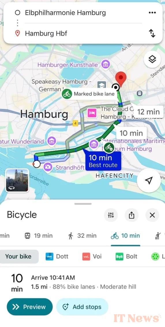
Google Maps is offering its European users some new features for greener travel. The app will now provide more details on bike routes: the presence of bike lanes, heavy traffic, steep slopes, etc. Nine European cities are affected, including Brussels, Milan, and Madrid. Google intends to cover 125,000 km of bike lanes worldwide.
Less CO₂, more cycling
If cycling isn't your thing, then choose walking! Google Maps will expand its recommendation feature for journeys on foot or by public transport when the latter are as fast as driving. Already deployed in more than 60 cities, this feature will soon arrive in Copenhagen, Stockholm, Warsaw, and other European cities. Google claims that tens of millions of car journeys have been avoided thanks to it. And it's good for your health!
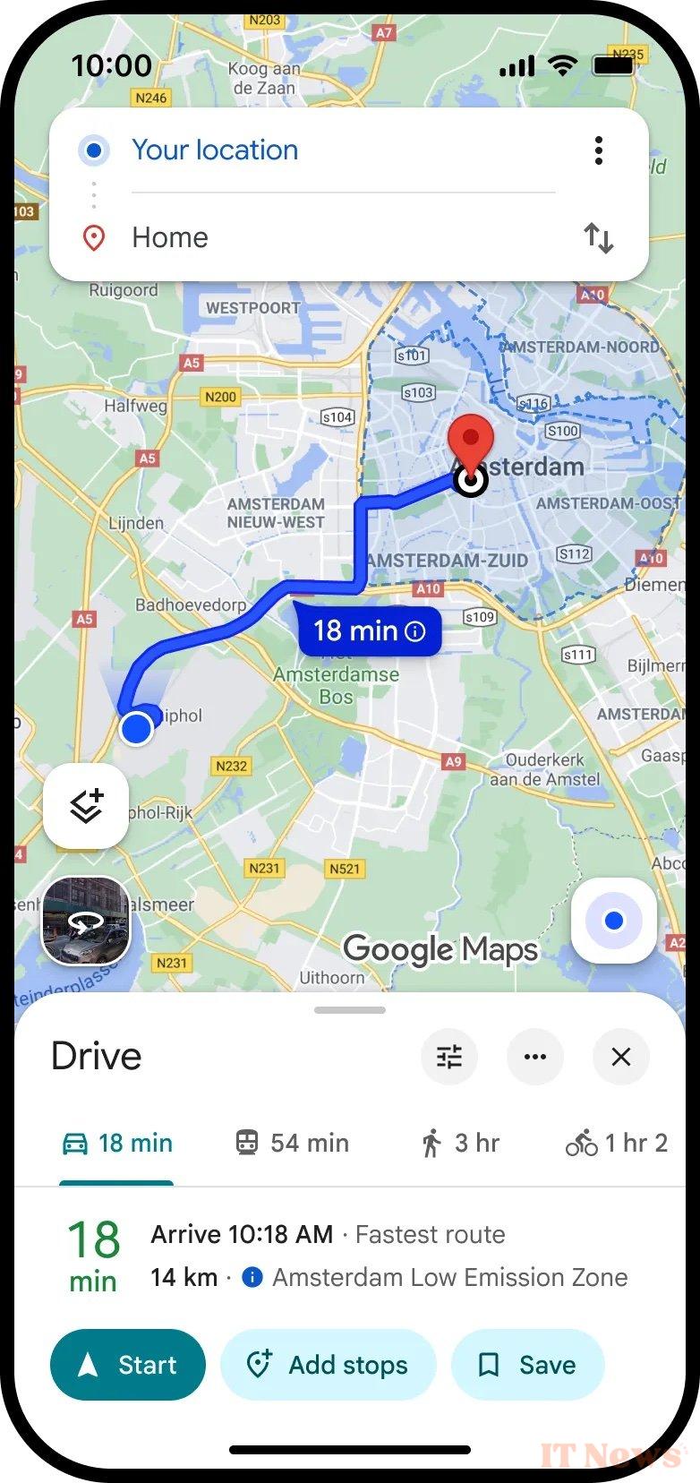
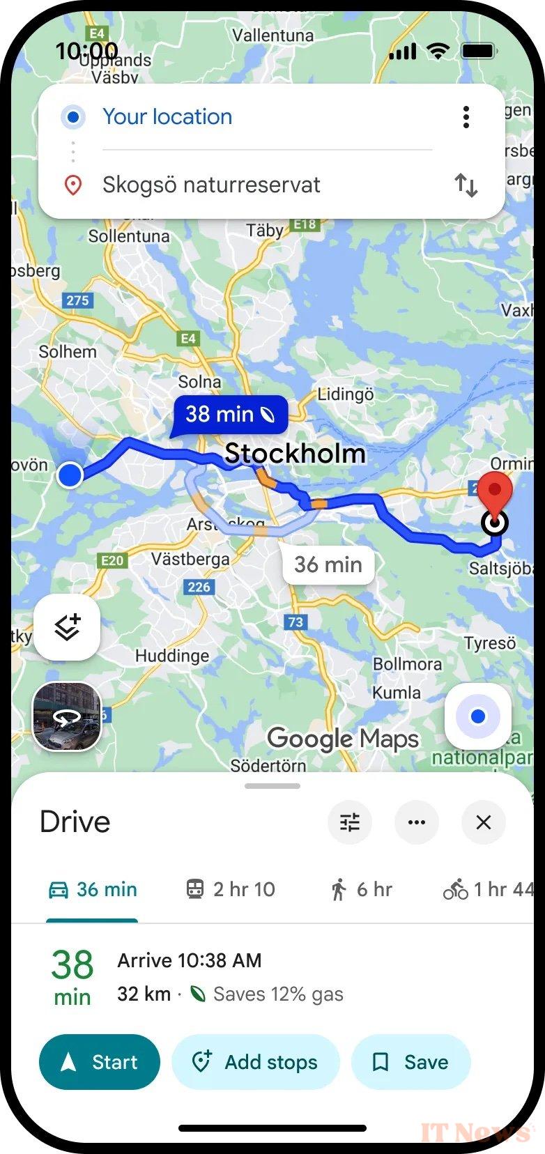
For those who have no choice but to take their car, the app is rolling out its fuel-efficient route planner to the world. It suggests the most energy-efficient route, even if it isn't the fastest. Google estimates that this option, used for 500 million trips each month, has avoided the emission of 2.7 million tons of CO₂ in 2024. This is the equivalent of taking 630,000 cars off the road for a year.
In London and Berlin, Google Maps already displays alerts for low-emission zones. Soon, more than 1,000 of these zones will be covered in Europe, including Italy, Sweden, and Austria, with warnings indicating whether your vehicle can enter them and alternatives in case of restrictions.
Finally, Google will extend the Green Light project to Vilnius. The Lithuanian capital will benefit—like 20 other cities around the world—from technology combining AI and Maps to optimize traffic light synchronization and reduce traffic jams and CO₂ emissions.
Source: Google


0 Comments